Take a hike: Manitoba’s top trails
Hikers are always surprised by the variety of landscapes present in this prairie province.
A version of this post originally appeared on the Manitoba Hot website.
While hiking in Manitoba, one of Canada's prairie provinces, altitude sickness is never an issue. But the province's wide-open, sweeping canvas is far from boring. Hikers are always surprised at the variety of landscapes in Manitoba: tall grass; rolling, forested hills; undulating river valleys; vast wetlands; waterways dotted with granite rock, set deep in an evergreen forests; and the occasional view-encompassing escarpment.
Mantario Trail
Distance: 66 kilometres (3-5 days, or day hike up to 6 hours)
The longest trail through the Canadian Shield in Western Canada, the Mantario runs south to north along the Manitoba-Ontario border in Whiteshell Provincial Park. It takes experienced hikers three to five days, but the wild beauty is worth experiencing even if just for a day hike. From the south trailhead near Caddy Lake, day trippers cross rugged aspen, Jack pine, spruce-forested valleys, and the Whiteshell River by footbridge.
Spirit Sands & the Devil's Punchbowl
Distance: 4 to 11 kilometres (1.5 to 4.5 hours)
Two hours west of Winnipeg, Spruce Woods Provincial Park's pine forest and boreal woods blend with grassy hills and the meandering Assiniboine River. The hike is perfect for families, as kids and teens love to discover the geological surprise for which this park is famous for: towering, 30-metre sand dunes. Once a sacred Cree site known as the Spirit Sands, this desert area is completely unexpected in the middle of the Canadian Prairies. Make the extra effort to get to Devil's Punch Bowl, a unique crater-shaped lake near the Assiniboine.
Disappearing Lakes Interpretive Trail
Distance: 1.5 km (1 hour)
Tucked in the corner of southwestern Manitoba, Turtle Mountain Provincial Park is a less-hiked prairie oasis of aspen forests and shallow lakes. This grassy trail winds through woods and meadows to a viewing tower that allows hikers to gaze south past the international border into the United-States. The trail also includes boardwalks that zigzag across bogs and marshes where double-crested cormorants (birds) are common.
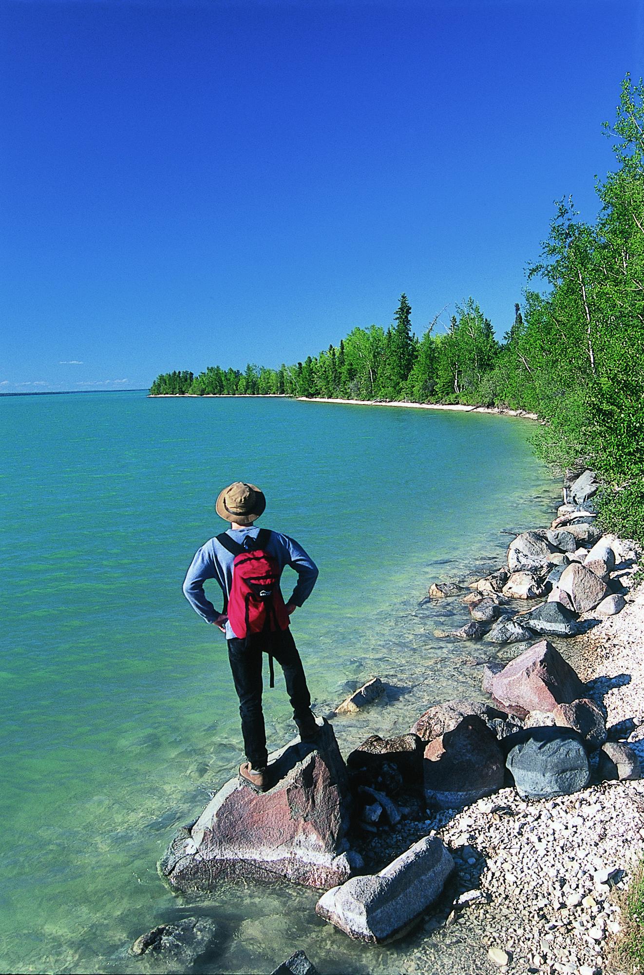
Pisew Falls to Kwasitchewan Falls Trail
Distance: 22 km (6 to 8 hours)
In northern Manitoba, south of the city of Thompson, this trail skirts the Grass River from Pisew Falls to the Kwasitchewan Falls, Manitoba's highest waterfall at 14.2 metres. In the middle of untapped boreal forest wilderness, the Grass River drops 13 metres, changes direction, and jets noisily down a gorge. This is Pisew Falls and it is here that the trail starts, tracing a late 1700s fur trade route.
Grey Owl Trail
Distance: 17 km (5 hours)
Grey Owl Trail leads hikers to the Beaver Lake cabin built by the famed British-born conservationist, who notoriously pretended he was of First Nations blood. Along with his pet beavers Rawhide and Jelly Roll, Grey Owl lived in Manitoba's Riding Mountain National Park for six months in 1931 as the first naturalist hired by Parks Canada. The trail weaves through quiet forests punctuated with marshes, home to various wildlife.
Hecla Island Trails
Distance: 1 to 25 km (1 to 8 hours)
Visitors to Hecla Island actually leave mainland Manitoba and cross a causeway to the provincial park. Here, two very different trails here can be easily tackled in a day’s outing. The Hecla Village Self-Guiding Trail tells the history of this small lakeshore Icelandic settlement, with stops at the village’s centuries-old buildings. But first, stop at the Grassy Narrows Marsh, where a 25-kilometre network of trails offers fine birdwatching via boardwalks and blinds.